
| Beyond the Greenway II:
|
[Photos from this ride]
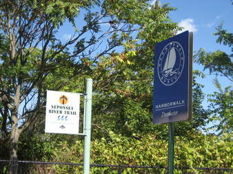
Someday the Harborwalk will really connect to downtown boston
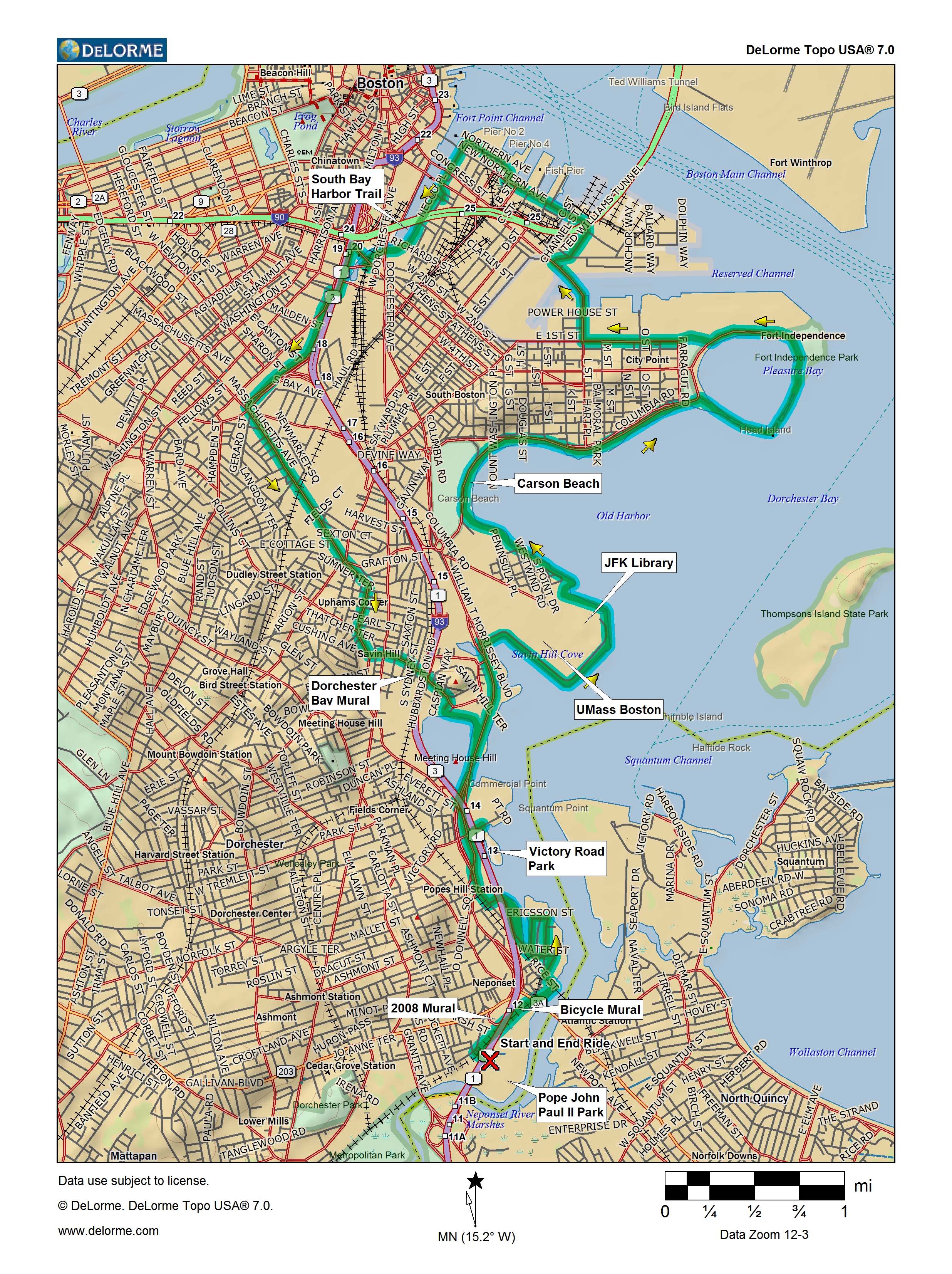
Details
- Where: Meet at the Hallet St. entrance to Pope John Paul II Park in Dorchester.
- When: Departing at 10:00 am, Sunday, October 26, 2008
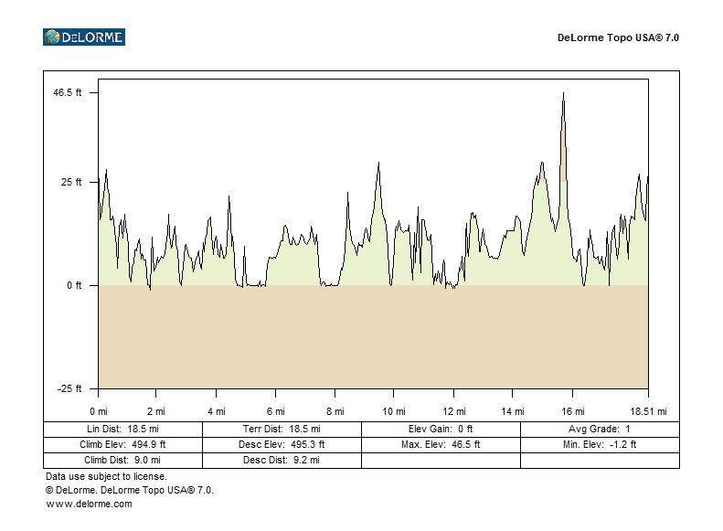
- Distance: 18.5 miles.
- Pace: Medium, averaging less than 10 MPH, counting stops.
- Terrain: Mostly flat.
- Route: Mixture of on-road (50%) and shared-use path (50%).
- Leader: Doug Mink
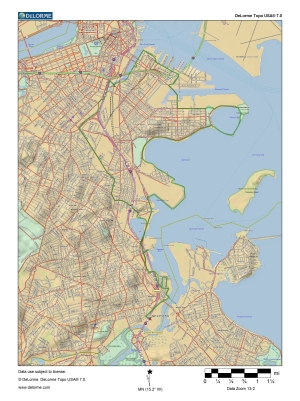
Maps and Cue sheet
Getting There
Bicycle
Ride south on Morrissey Blvd. to Neponset Circle and turn right on Gallivan Blvd, then left on Hallet St. to park, or go south on Dorchester Ave., left on Adams St. at Fields Corner, then straight onto Granite Ave., turning left on the Neponset Trail before crossing the river, or simply follow the Neponset Trail from the west.MBTA
There is no easy way to get to the start on public transit, though you could take the Red Line to Fields Corner and follow Adams St. southCar
Take the Neponset Circle exit from the Southeast Expressway southbound. There is a parking lot inside the park at the end of Hallet St.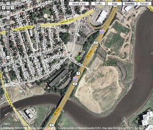
Click for Google Maps